Kyoto & Lake Biwa Cycling Route – Rider Stories
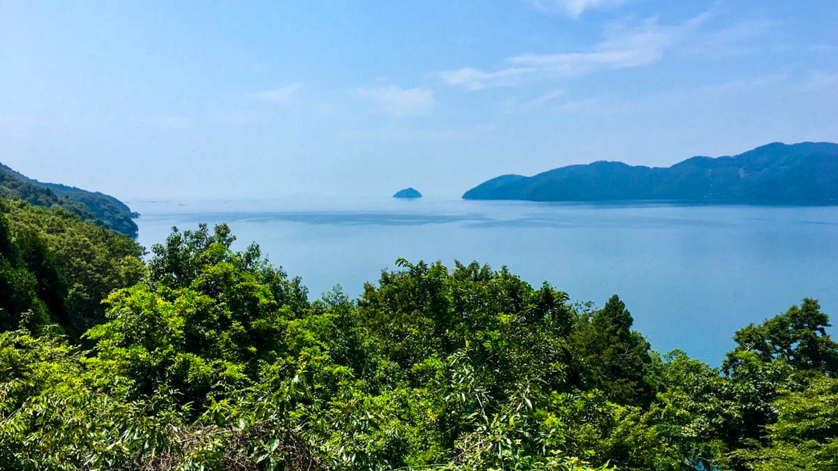
With waterfront cycling paths, rugged mountain roads in the north, numerous areas to swim, some stunning landscapes along Kyoto and Shiga, shrines and more, Lake Biwa offers a bit of everything for cyclists: the Kyoto Biwa Rider story explains…
Images by Andy Penn
Route
At 218km, most people would do this over two or three days however our rider had other ideas. In soaring Summer temperatures, Andy put in a colossal effort and wrapped things up in a day. Read the Kyoto Biwa Rider story below.
Distance: 218km
Elevation: 1,184m
Access from Kyoto shop: Good
Cyclist
Andy Penn
Andy was in Kyoto for a short time during his trip and wanted to get out on the bike to tackle the Lake Biwa route. He had climbed Mt Fuji only a few days before but that didn’t seem to slow him down.
Strava profile >
Leaving the City
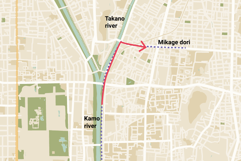
The route starts at the Kamo river which flows from north to south through Kyoto. It doesn’t matter where in Kyoto you start from, simply head to the Kamo river then start cycling north.
Take the right-side path at the Demachiyanagi river split then get on the Mikage dori which will be on your right in 4 blocks.
Mikage dori to Mt Hiei
There are a few ways you can get to Lake Biwa from the east side of Kyoto but the Sanjo dori which turns into Route #1 & Route #30 are two of the more popular access roads.
Route 30 takes in some of the Mt Hiei climb which is the second tallest mountain in Kyoto and offers some good elevation and views over the lake.
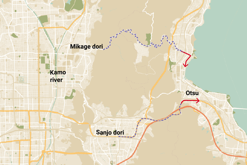
Route 30 is also an express lane out of the city with the base of the mountains only 6km away from Sanjo station meaning you say goodbye to Kyoto towns and suburbs in next to no time.
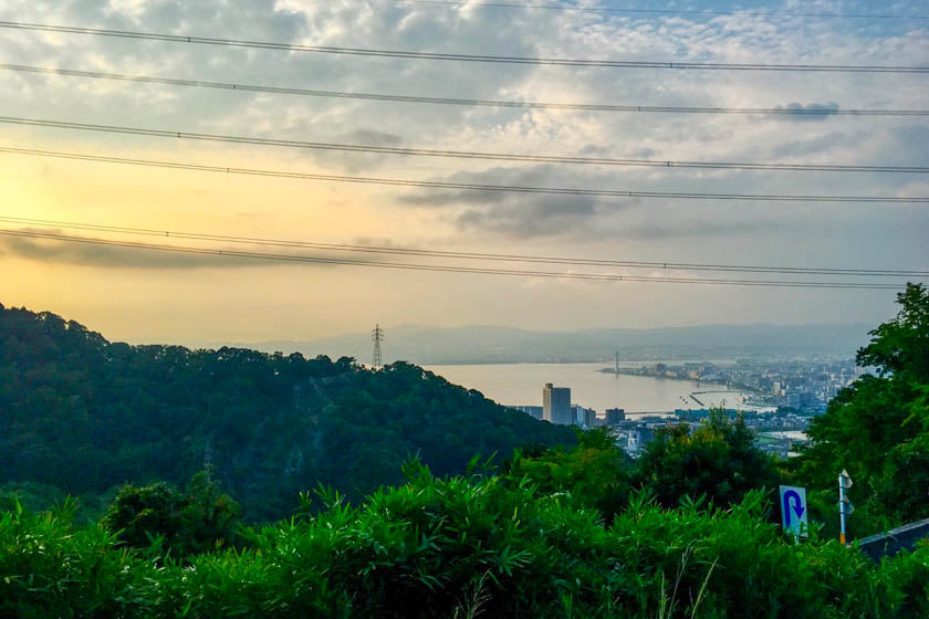
After winding through the mountain along the Shigagoe-michi (#30) for 5km or so, you’ll start getting a glimpse of the lake as you descend into Yanagasaki, which is the town on the lake.
Lake Biwa Loop (Biwaichi)
From Yanagasaki you’ve got around 185km to get around and back to the intersection where the #161 meets the #30 which will take you back through the mountains to Kyoto.
One, Two or Three Days
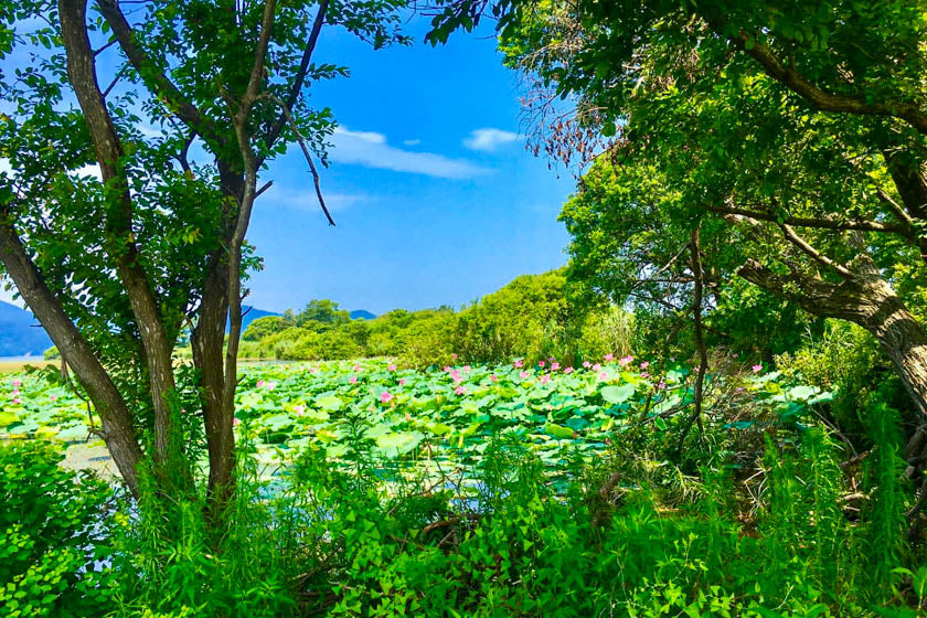
Generally riders do the Lake Biwa loop over one, two or three days. If you are new to cycling or still building up your fitness we recommend doing it over two or three days.
One thing to keep in mind is that some areas of the lake get extremely dark after sunset making cycling a bit dangerous without the proper lights and gear.
Plan your ride to make sure you arrive at your destination for the day with a bit of time to spare and enjoy a well-earned drink, meal and ideally a soak in an onsen.
Makino
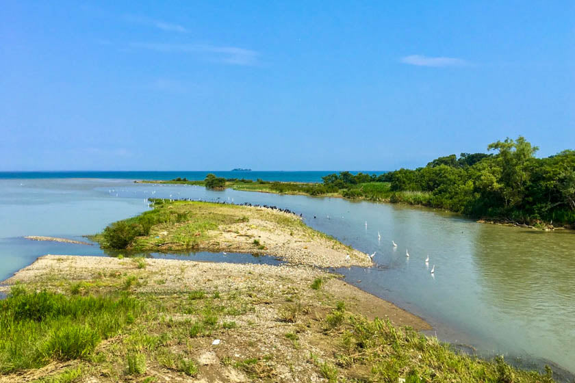
If you do stay a night, Makino in the north west is a beautiful little town with great swimming, water activities and access to the hills just to the north.
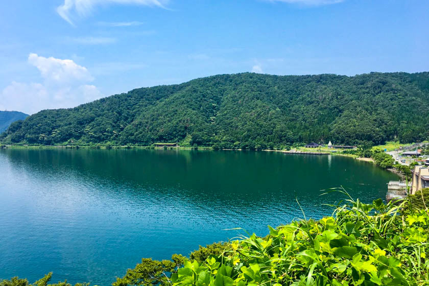
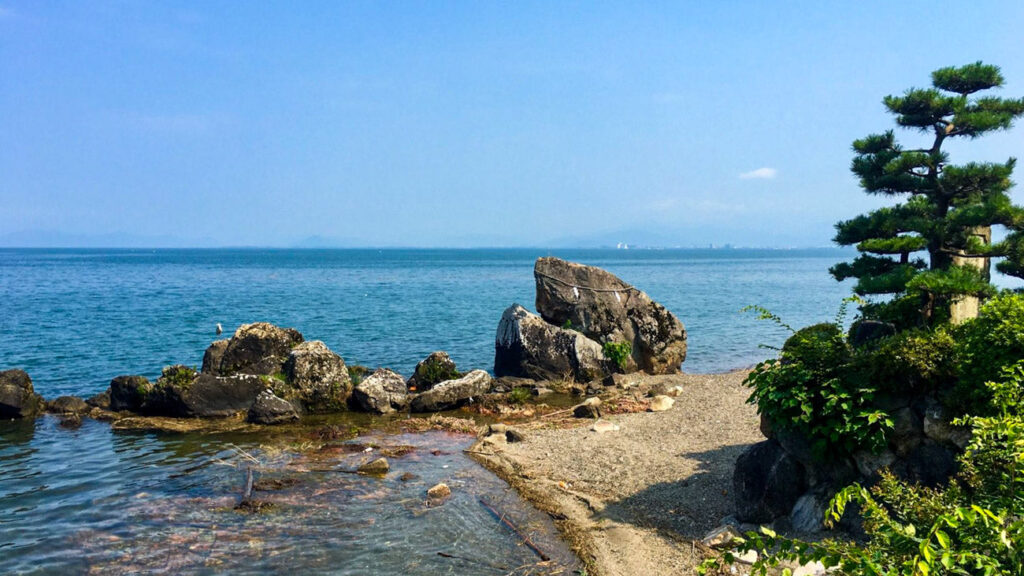
The mountains in the north are pretty impressive and make for some fabulous scenery looking north to the Japan sea and also south over the lake.
The landscape is pretty rugged and it really does feel like you’re a world away from the commotion of Kyoto and Otsu.
Direction
There is a bit of debate about which direction is best but most people probably do the loop anti-clockwise, keeping the lake on their left for the ride. But, there can be strong head winds when doing this so some prefer to tackle the ride from a clockwise direction.
As you make your way around the Lake, you’ll have the option of riding the Fast path or the Slower path. The fastest paths mean cycling on the main roads, and the lakeside paths are a bit slower and more enjoyable.
Elevation
The ride around the lake is mostly flat except for the mountains in the north which suddenly dart up offering some excellent views and riding.
The climbing on this route is at the start and the end when going through the Mt Hiei range. The incline gets up to 13-14% and after riding 200km, we’re pretty impressed Andy got up and over the mountain again on his return to Kyoto.
Sights
There is plenty to see on the ride with castles, lakeside towns, rugged mountain roads, shrines, temples and much more. For more details about the sights see the Shiga Biwako tourism sight from the below link.
Shiga & Lake Biwa Tourism website >
Final thoughts
Lake Biwa is a fantastic place to explore by bike. While being close to Kyoto, Osaka and Nara, there are some remote areas in the north that make you feel like you are a world away.
In warm weather the lake is great for swimming giving ample opportunities to have a break from pedaling to cool off in the fresh water.
There are some areas with a lot of traffic, like in Otsu which is a very industrial area, but this only makes up a very small portion of the ride. Just remember it does get better.
This route definitely deserves some consideration when planning your cycling routes through Kansai.
Happy Cycling and we hope you enjoyed the Kyoto Biwa Rider Story!
